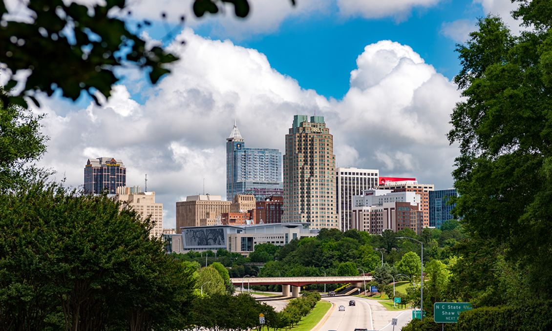
Right Now in Raleigh

The days are longer, the weather is warmer and the flowers are blooming—sure signs of spring in the Raleigh area! The perfect season to explore parks and gardens budding with colorful flowers, use this list to get out and enjoy sunshine and the beauty of the City of...

A big new attraction is now open in Cary, N.C. Downtown Cary Park—a seven-acre, state-of-the-art playspace for all ages—opened in the heart of downtown Cary in late 2023. The early reviews are in: this is undoubtedly one of America's best new public gathering spaces....

The North Carolina Museum of Art in Raleigh, N.C., has added its first painting by Pablo Picasso to the museum's permanent collection. The painting came as a donation late in 2023, along with four other 19th- and 20th-century paintings from Europe.

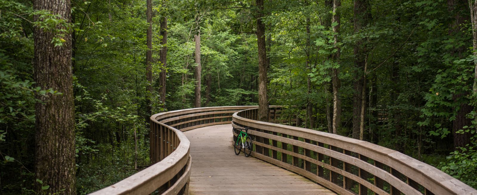
There's no shortage of ways to find peaceful escapes in order to explore the outdoors in the City of Oaks. Use any of the Raleigh area’s 180 miles of greenways—many of them connecting to attractions and letting you travel all over the destination—or numerous other miles...