How to Plan A Perfect Fall Bike Ride on the Neuse River Greenway Trail in Raleigh, N.C.
Wednesday, October 05, 2022, 9am by Michael Robson
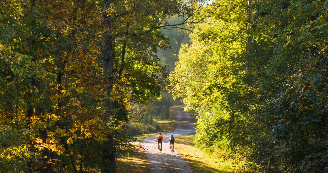
Note: Peak fall colors generally arrive in the Raleigh area in late Oct. to mid-Nov. (so now is the time to book a trip to experience it in the best way possible)!
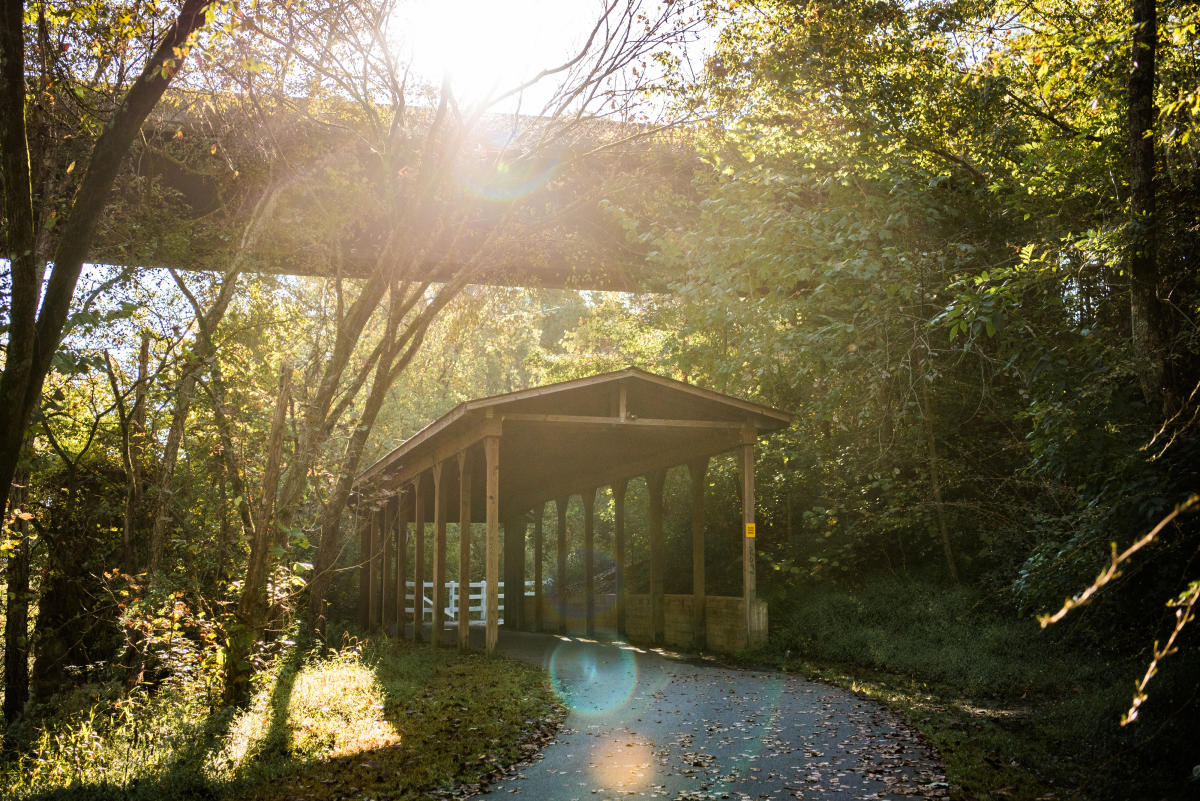
The Neuse River Greenway Trail—a 30-mile paved, uninterrupted greenway that stretches from Falls Lake in North Raleigh to the Wake County line in southeast Raleigh—is a year-round haven for outdoor recreation. With views of historic sites as well as winding boardwalk areas and suspension bridges crossing over wetlands, the trail is open to joggers, walkers, runners, cyclists, roller-bladers and others.
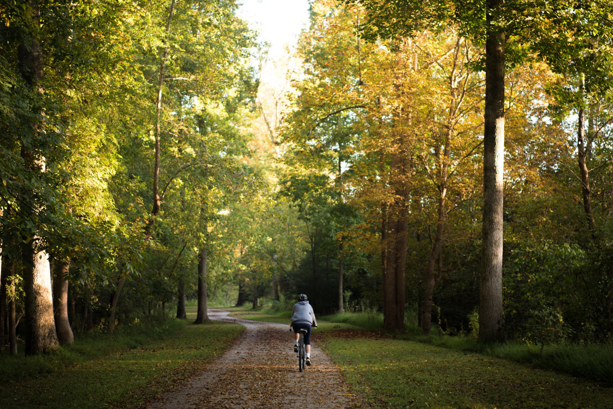
Many consider the Neuse River Greenway Trail to be the gem of the 100-plus-mile Capital Area Greenway System. Without a doubt, an autumn bike ride here makes for one of the prettiest, flattest and easiest-to-navigate adventures you can have on two wheels in the Tar Heel State.
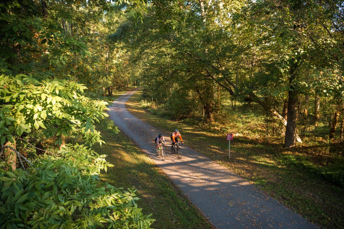
The trail—which is also an important part of the Mountains-to-Sea Trail for hikers (a 1,175-mile trek across the entire state) and the East Coast Greenway for cyclists (a 3,000-mile, 15-state venture down the eastern U.S.)—completed construction in spring of 2014, opening up a huge number of possibilities for recreational users and commuters to move about the area.
Up for a challenge? Or just a peaceful cruise? This route is long enough—and the sights pretty enough—for seasoned cyclists to enjoy, and flat enough and safe enough (no cars to deal with here!) for the entire family to have a blast.
Difficulty note: Be advised that the northern half of the Neuse River Greenway is mostly flat; the southern half, below Anderson Point Park, has a number of small rolling hills.
The basics of the route
The full route for this ride can be easily broken into three parts (choose your own starting and turnaround points to find a mileage that suits you):
- Falls Lake trailhead to Horseshoe Farm Nature Preserve: 8 miles.
- Horseshoe Farm Nature Preserve to Anderson Point Park: 10 miles.
- Anderson Point Park to Mial Plantation Rd. trailhead: 9 miles.
So while there's no shortage of starting and stopping points along the trail, if you want the full Neuse River Trail experience, our advice is to begin at the Falls Lake trailhead, where The Bike Guy—a full-service bike shop with rental bikes available—sits right beside the parking lot. Heading south, you'll find lots of families, children and more foot traffic in general in the first few miles before the path clears quite a bit.

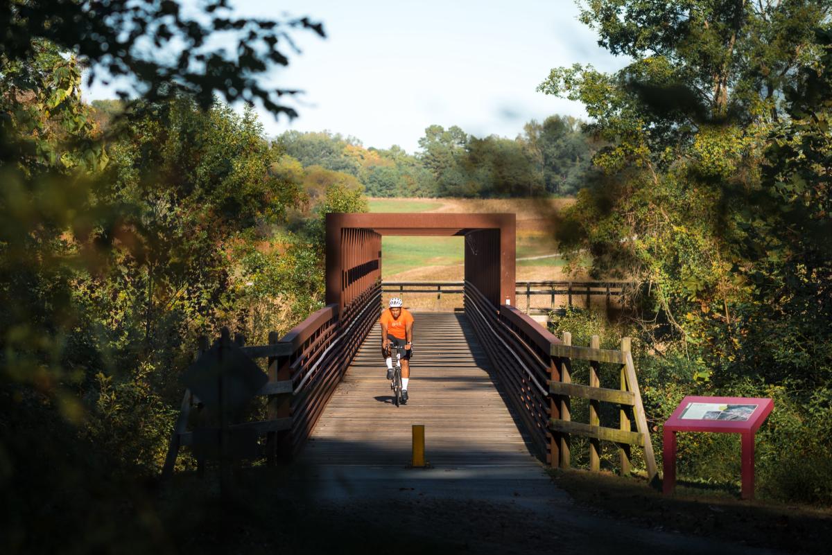
From the Falls Lake trailhead, it's approximately 8 miles of beautiful flat terrain until you reach Horseshoe Farm Nature Preserve, a 146-acre jewel of open space surrounded by some of the most scenic greenway miles in the entire area. Shown in the map above, you'll have to take one turn off the main greenway and cross a large pedestrian bridge to enter Horseshoe Farm (so while you can bypass altogether, this stop is an essential part of the ride if you ask us). A parking lot in this park—with bathrooms and water fountains—is also a good option for starting a ride.
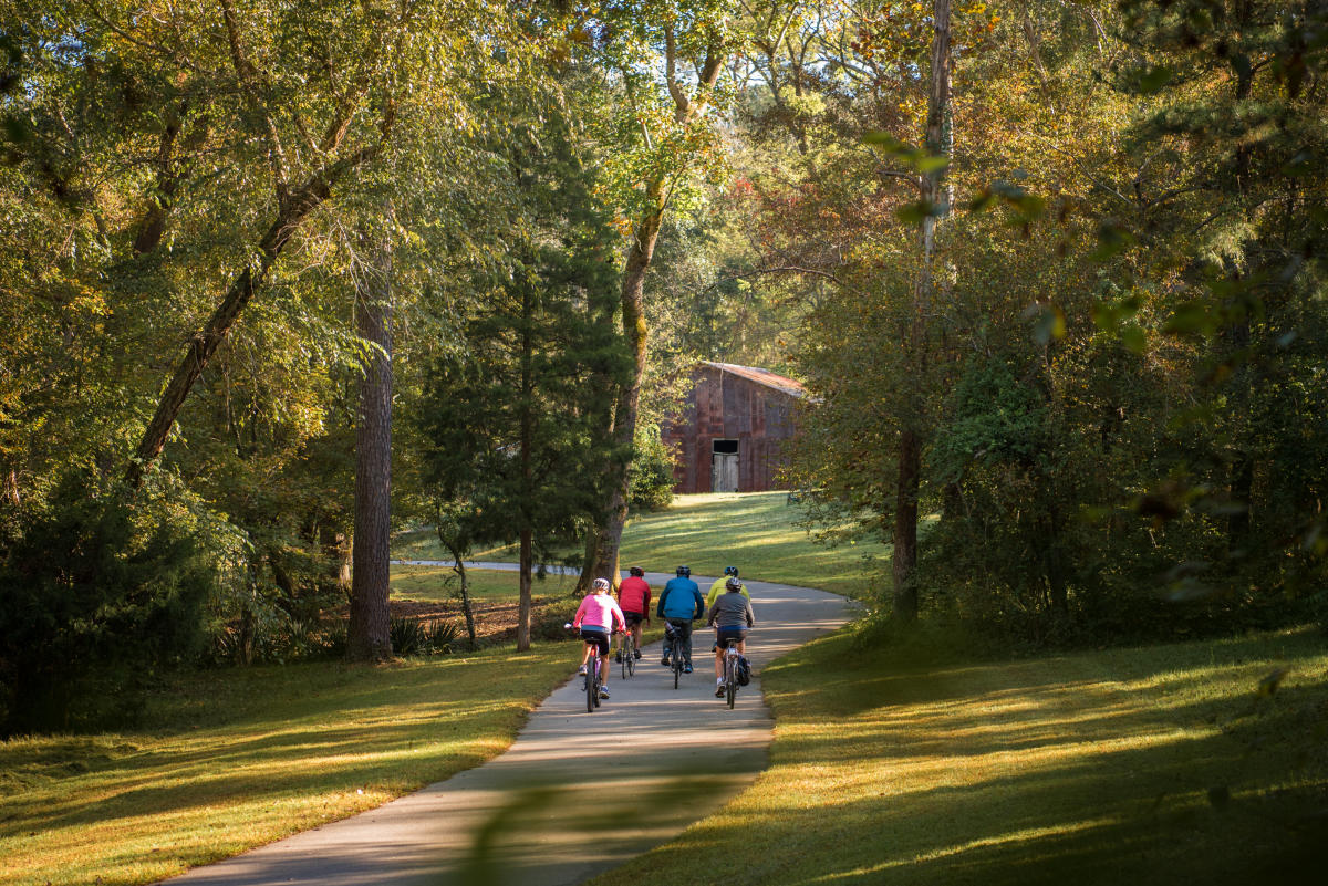
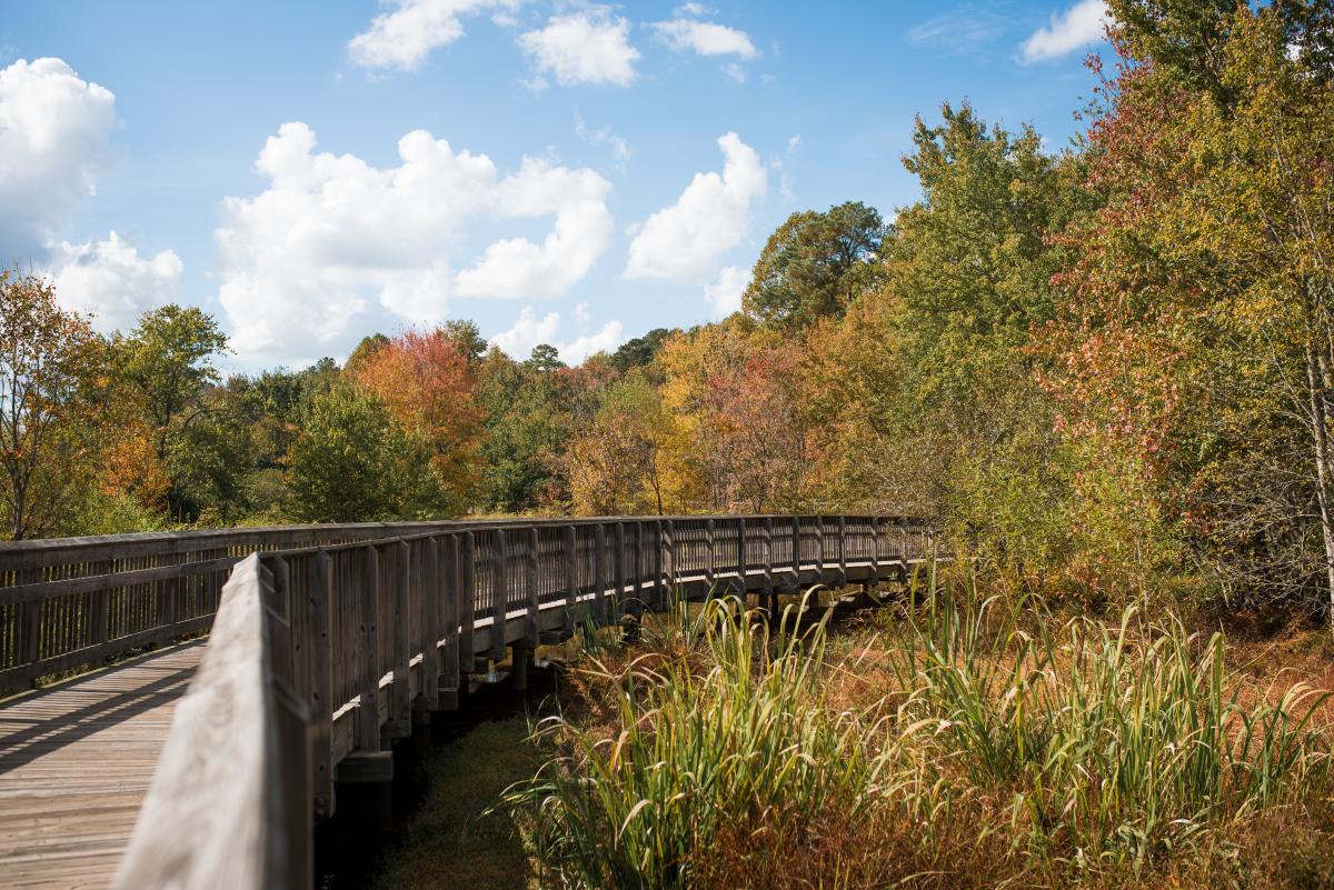
For 10 miles from Horseshoe Farm to Anderson Point Park, the route continues to hug the Neuse River closely, providing plenty of views of the water as you pass through wooded areas, across bridges and over marshes before zipping behind some houses as you reach Anderson Point Park (on this section, about 8 miles after leaving Horseshoe, you'll pass the Milburnie Dam bridge overlook on your left—worth a stop to take in the view!).
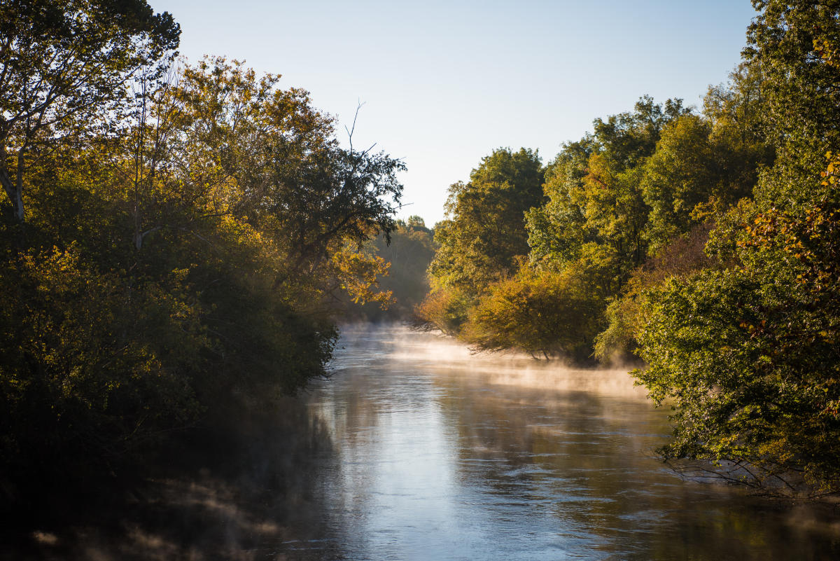
Continuing on, the most southern portion of the trail travels through more wetlands and secluded areas and is less trafficked, but equally scenic.
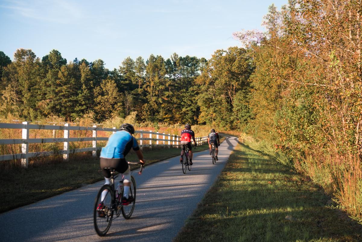
From here, you'll begin to find white picket fences running along wide open land and a mix of shaded and sunny portions of the trail—it's approximately 11 miles from Anderson Point Park to the southern end of the greenway, with just a couple short and small hills to compete with.
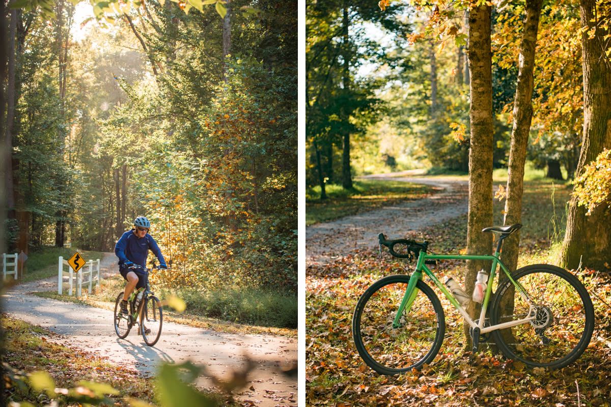
While the greenway continues into Johnston County—connecting to the Town of Clayton—if you're planning to ride back to your starting point (as opposed to using a two-car system to transfer you and your riding partners), then you may consider the Mial Plantation Rd. trailhead as a good turnaround point. The trailhead comes approximately 27 miles from the Falls Lake trailhead, meaning your full out-and-back route would be more than 50 miles.
A barbecue detour? Yes, please!
For the most part, the Neuse River Greenway Trail steers clear of any retail, restaurants or shopping centers, which means food and drink are not available immediately off the paved path. But that's not a problem—come prepared with your own snacks and water, of course, but also consider working up an appetite (because barbecue awaits!).
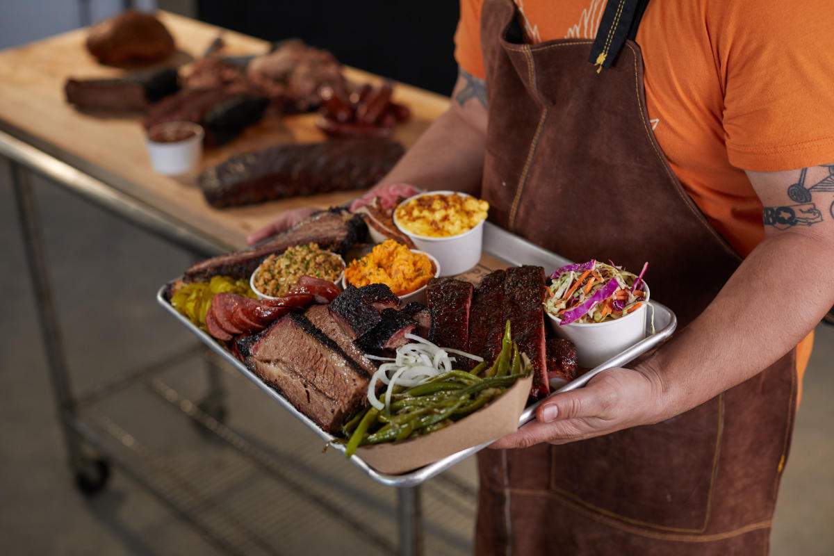
In Knightdale, champion pitmaster Christopher Prieto's Prime Barbecue has been hailed as one of America's best new 'cue joints, and it certainly tastes the part. Opened in 2020, Prieto melds together the best of Texas, Kansas City and Carolina barbecue, showcasing an array of smoked ribs, brisket, pulled pork, sausages and more (a killer banana pudding is not to be missed).
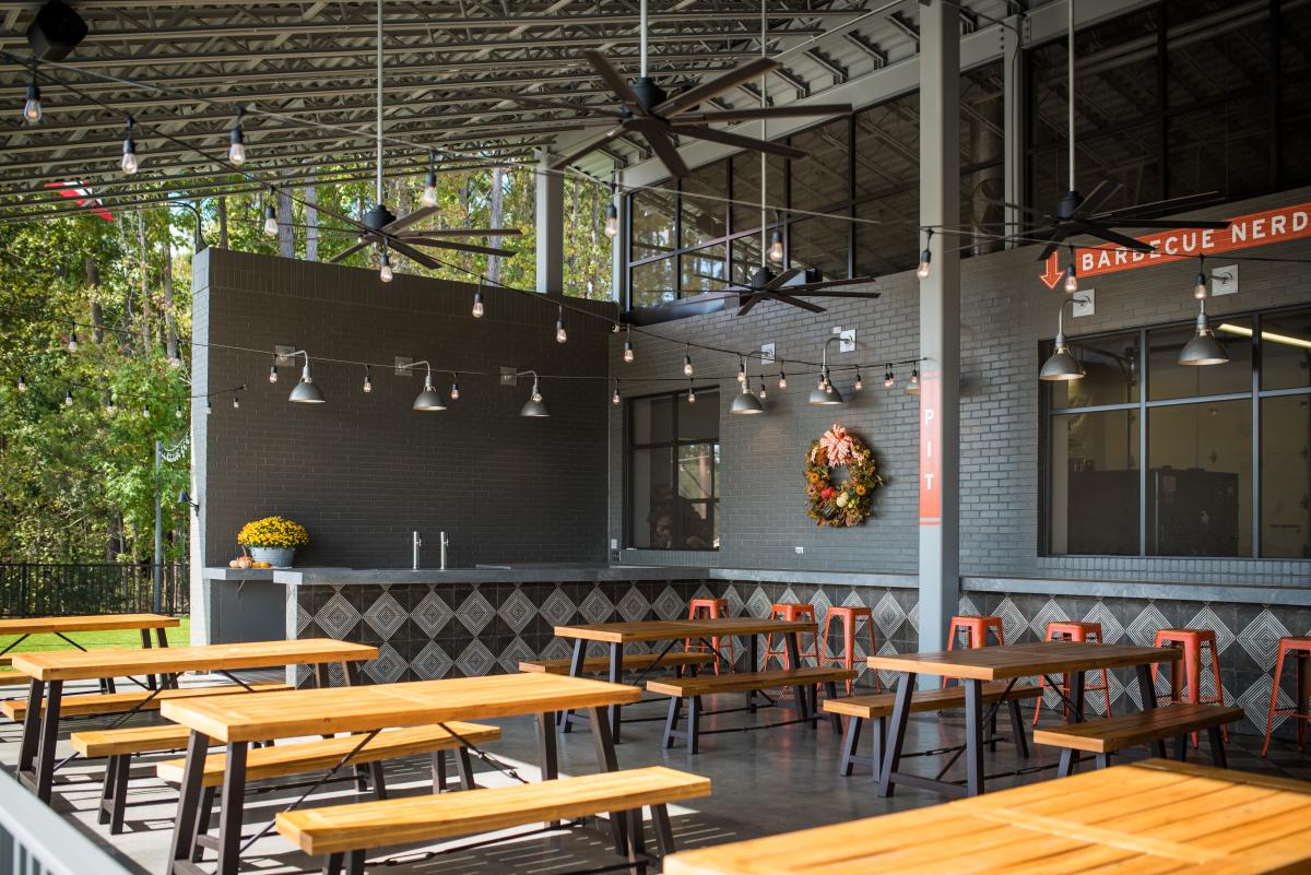
Prime Barbecue has indoor and outdoor seating, and is open Tues.-Sat. from 11am until they're sold out for the day.
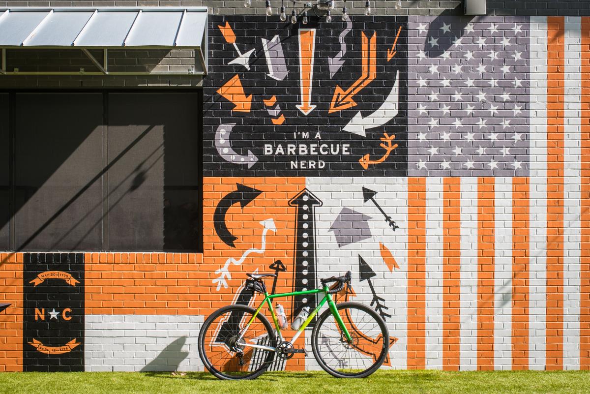
So how do you get there by bike?
Just north of Anderson Point Park (seen below, at mile 19 and again at mile 37 on our full route shown near the beginning of this article), the Neuse River Greenway Trail connects with the Mingo Creek Trail, a 4-mile greenway stretch that gives you access to the heart of Knightdale via scenic woodlands and wetlands.
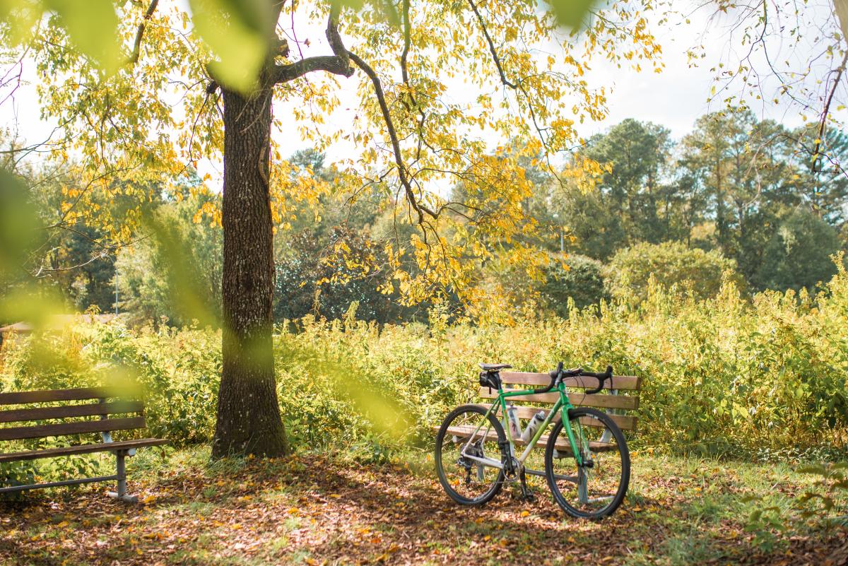
Once the greenway ends, it's just 2 easy miles until you find yourself outside of Knightdale Station Park (a massive wide open space with ballfields, walking trails and playgrounds), passing Oak City Brewing Company (perfect spot for a beer!) and rolling up to front doors of Prime Barbecue (there's room for a few bikes at a rack out front). In total, the 6-mile detour adds 12 miles to your day.
Connections to other greenways
Several other greenways in Raleigh connect to the Neuse River Greenway Trail, allowing you to branch off and do lots more exploring.
- Abbotts Creek: Located roughly three in along the Neuse River Greenway Trail, Abbotts Creek provides short and easy connections to Green Hills County Park and Durant Nature Preserve.
- Crabtree Creek: Stretching 15 miles from east to west across the city, Crabtree Creek provides connections to North Hills, the North Carolina Museum of Art and more. The connection to Crabtree Creek is at Anderson Point Park.
- Walnut Creek: Raleigh's second longest greenway, Walnut Creek takes trail users into downtown Raleigh where it connects with Dorothea Dix Park then continues on to Lake Johnson Park. The connection to Walnut Creek is approximately 20 miles from the beginning of the Neuse River Greenway Trail, and 10 miles from the center of downtown Raleigh.
Where to park
There are lots of parking options spread throughout the 30-mile trail, but below are some of our favorites thanks to their location or size of the lot.
- Falls Lake Dam trailhead (mile 0—beginning of the trail!)
- Falls of Neuse canoe launch (mile 0)
- Horseshoe Farm Nature Preserve (mile 8)
- Buffaloe Road Athletic Park (mile 11)
- Anderson Point Park (mile 17)
- Auburn Knightdale Rd. trailhead (mile 22)
- Mial Plantation Rd. trailhead (mile 26)
Where to stay
This ride calls for an early start to your day, so here are a few hotel options just a short distance from the beginning of the Neuse River Greenway Trail:
- Holiday Inn Express Hotel & Suites North Raleigh/Wake Forest (3 miles by car from Falls Lake trailhead)
- Candlewood Suites Wake Forest (3.6 miles)
- Fairfield Inn & Suites Raleigh Wake Forest (3.6 miles)
- Hampton Inn Raleigh/Town of Wake Forest (3.9 miles)
- WoodSpring Suites Raleigh Northeast Wake Forest (5.6 miles)
Need to know
- This route can be done on almost any bicycle, from beach cruisers to road bikes to mountain bikes and everything in between.
- Please note that the trail is open from dawn to dusk, so plan to be finished before the sun is all the way down.
- You won't want to travel far unless you have plenty of water on you (sunscreen, too!), especially on warmer days.
- The greenway speed limit is 10 MPH—good etiquette calls for cyclists and skaters to slow down and give a verbal warning when passing slower trail users on the left.
- When crossing the many wooden bridges along the trail, take caution that wet conditions (even just wet leaves) can be slippery.
- The Neuse River Greenway Trail is an out-and-back, meaning the end of the trail is a long ways from the beginning. Completing the entire trail in one go is certainly doable by bike, but will total more than 50 miles. If you're really feeling up for a challenge, check out Oak City Cycling Project's Neuse Deuce Challenge—a one-day, 200km (129 miles) route.
There's no shortage of ways to spend a couple of days exploring the museums, restaurants and parks in the Raleigh area on... View More
Note: Authored by David Menconi, this piece has been produced in partnership with Raleigh Arts . Menconi's latest book,... View More
Often dubbed the "Smithsonian of the South" thanks to an abundance of free museums, historic attractions and... View More
Hello, summer! We can hardly contain our excitement—there are so many fun ways to enjoy the longer days and extra sunshine... View More
Sunshine, good times and good tunes mean one thing is abundantly clear—it's time for a Raleigh road trip. Stages... View More
Update, July 18, 2024 The sunflowers at Dorothea Dix Park are past peak bloom. What and where are the sunflowers in Raleigh?... View More
Note: Authored by David Menconi, this piece has been produced in partnership with Raleigh Arts . Menconi's latest book,... View More
Note: Authored by David Menconi, this piece has been produced in partnership with Raleigh Arts . Menconi's latest book,... View More

Author: Michael Robson
Visit Raleigh assistant director of marketing and communications.

